
Utility & Underground Surveys (SUE) in Santa Barbara, CA | Subsurface Utility Engineering Specialists
Santa Barbara Land Surveyor has spent more than 30 years mapping what sits underground before a design team ever draws a line, and downtown Santa Barbara's dense and often undocumented utility network is exactly the kind of job that experience is built for. Locating a line nobody has a record of takes real field skill, not a records search alone, so we combine what the utility companies have on file with actual ground-penetrating radar and electromagnetic locating before anything goes on the map. That combination is what keeps a design team from routing around a utility that was never there, or missing one that was.
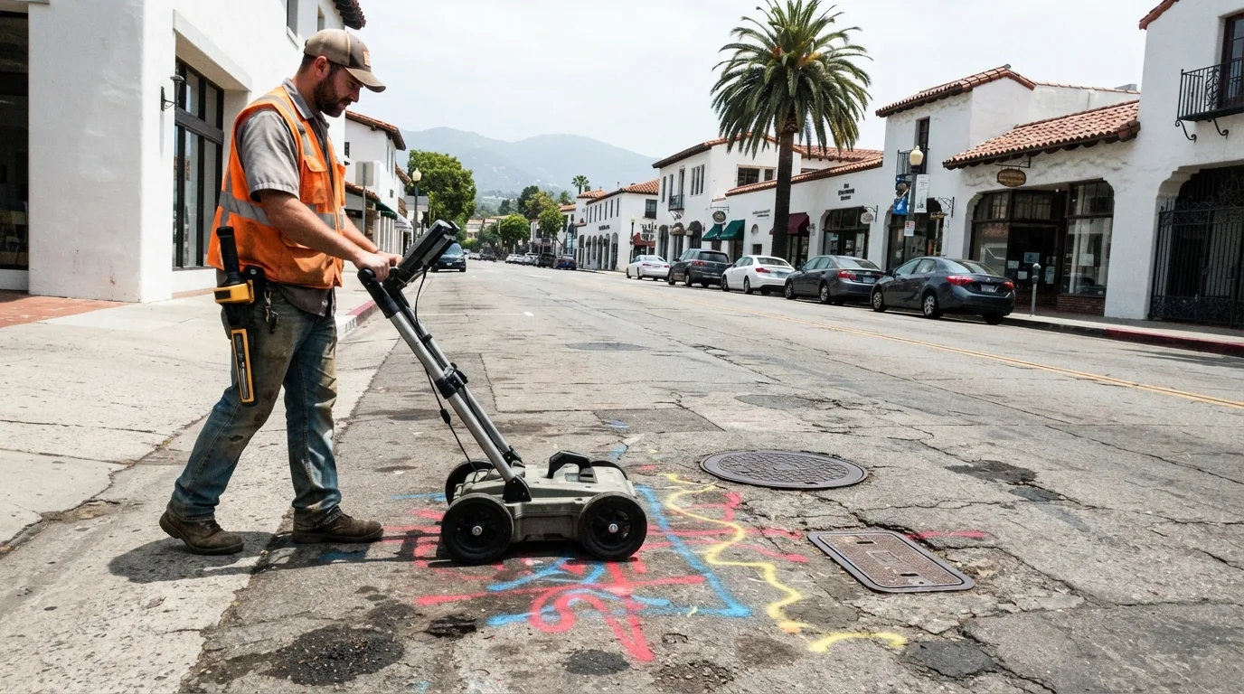
A utility survey pulls existing utility-company records, surveys every visible feature on the surface such as manholes, vaults, meters, and valve boxes, and locates buried lines with GPR and electromagnetic methods, then ties all of it into the same GPS control the rest of the project runs on. We scope and report the work to ASCE 38 quality levels, the national standard for subsurface utility engineering, so a design team knows exactly how much confidence to place in each line on the plan. What follows breaks down how we research and locate utilities and what those quality levels actually mean, then covers where this work matters most across Santa Barbara and the waterfront.
Get a Free Estimate
What a Utility Survey Covers
Records Research and Existing-Utility Mapping
Surface Feature Survey
SUE Quality Levels and Ground-Penetrating Radar
Tying Utilities Into Site Control
Our Utility Survey Process
Utility-company records research.
We pull as-builts and prior records from the utility companies and the city or county before scheduling the field crew.
Surface feature survey.
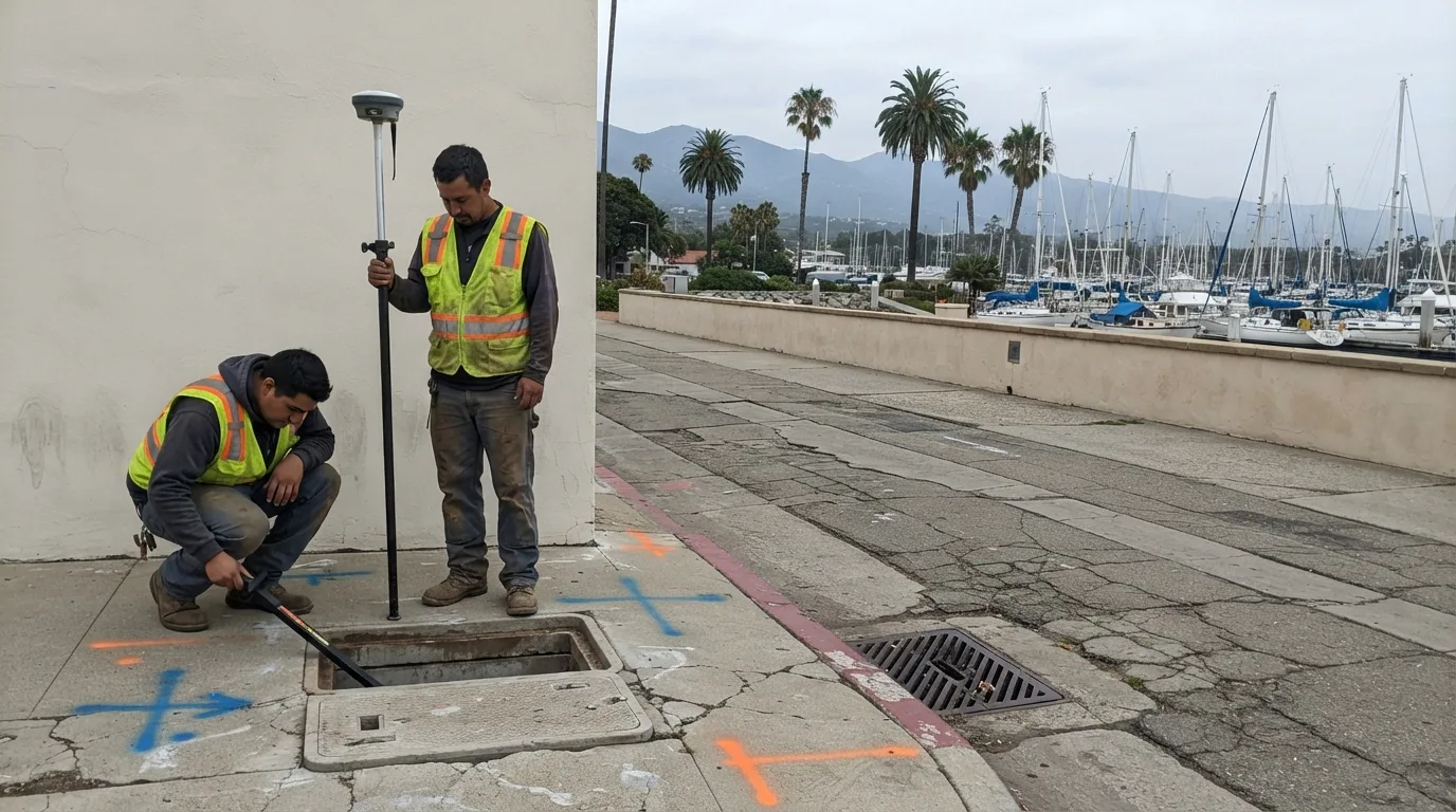
We locate and tie in every visible utility structure on the site.
Subsurface locating.
We trace buried lines with ground-penetrating radar and electromagnetic methods where the records leave a gap, scoped to the SUE quality level the project calls for.
Data integration with site control.
Every located feature and traced line gets tied into the project's GPS control network.
Mapping and CAD deliverable.
We draft the utility data into a CAD file your design team can drop straight into their plans, labeled by the quality level behind each line.
Coordination with the design team.
We work directly with your engineer or architect on anything the utility data affects.
Utility Survey Service Area
Most of our utility survey work is downtown and along the Santa Barbara waterfront, where the infrastructure is old and often missing from any record, along with pre-construction work in Goleta. A California Professional Land Surveyor license covers this work statewide, so if your project sits outside this immediate area, ask and we will scope it.
Why Choose Us for a Utility Survey
- Records research and real field locating combined, not one relied on alone
- SUE quality levels your design team can actually rely on
- Utility data tied into the same control network as the rest of the survey
- Real experience with downtown Santa Barbara and waterfront infrastructure
- More than 30 years of pre-construction survey work across the South Coast