
Elevation Certificates & Flood Zone Determination in Santa Barbara, CA | FEMA Elevation Certificate Specialists
Santa Barbara Land Surveyor has completed FEMA elevation certificates for South Coast property owners, lenders, and insurers for more than 30 years, and the value in that experience is speed without sacrificing accuracy. We know which parcels along Santa Barbara, Goleta, and Carpinteria's creek corridors sit in a mapped flood zone before we even pull the map, and we read the Base Flood Elevation correctly the first time so a single site visit is genuinely enough.
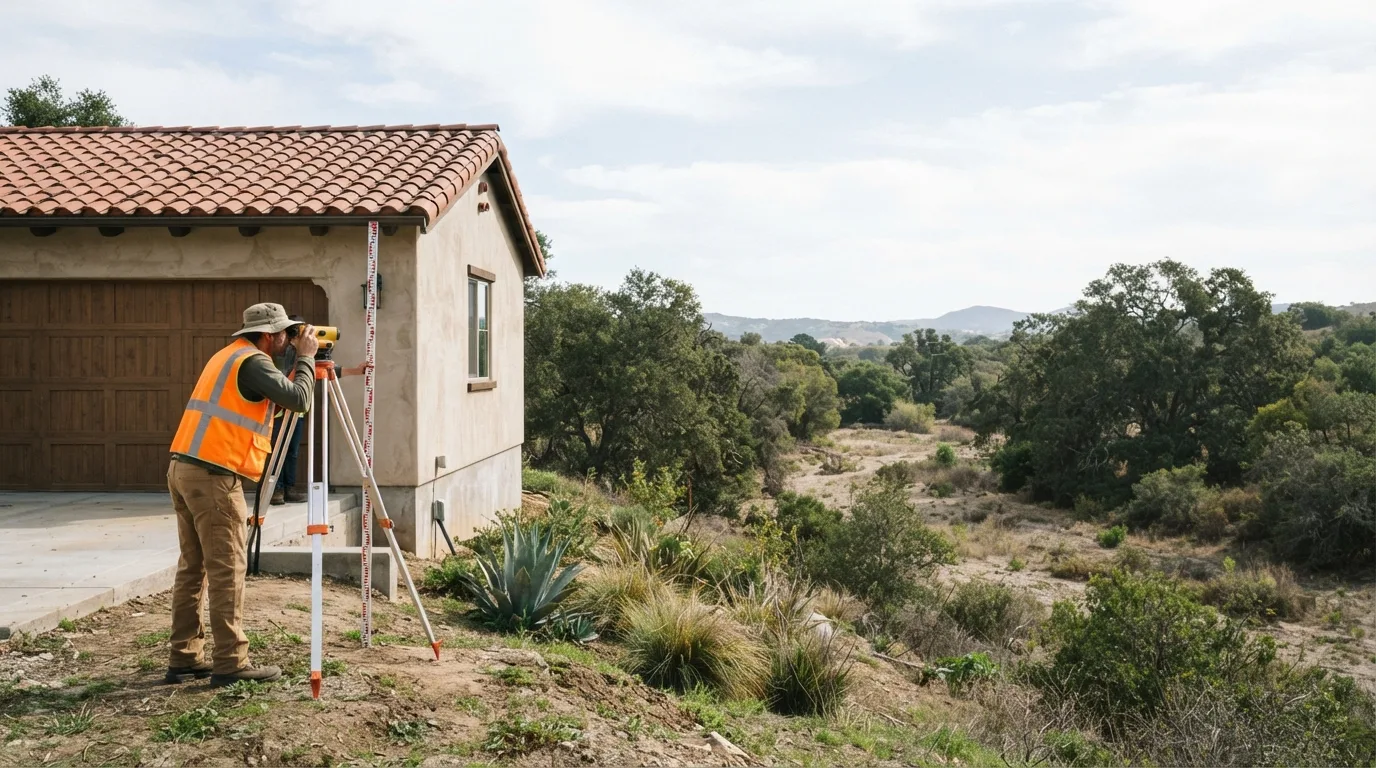
An elevation certificate is a licensed surveyor's measured record of where your building sits in relation to the Base Flood Elevation, entered on FEMA Form 086-0-33 and used to rate flood insurance under the National Flood Insurance Program or to support a Santa Barbara County floodplain development permit. We pull your flood zone and Base Flood Elevation from the effective Flood Insurance Rate Map, measure the structure in one visit, and certify the form, and if the numbers come back favorable, the same data can support the Letter of Map Amendment covered below.
Get a Free Estimate
What an Elevation Certificate Covers
The FEMA Form and the Base Flood Elevation
How the Certificate Gets Used
Reading the Flood Insurance Rate Map
The Site Visit and the Finished Form
When the Data Supports a Map Amendment
Our Elevation Certificate Process
- 1
Parcel and FIRM zone lookup.
We confirm your mapped flood zone before quoting the job.
- 2
Site visit scheduling.
One visit, planned around your timeline.
- 3
Field elevation measurements.
Vertical control occupied, elevations shot on and around the structure.
- 4
Photos and location sketch.
The documentation FEMA requires alongside the numbers.
- 5
Form completion and certification.
The surveyor signs and seals the finished certificate.
- 6
Delivery, with a LOMA read if your numbers support it.
Elevation Certificate Service Area
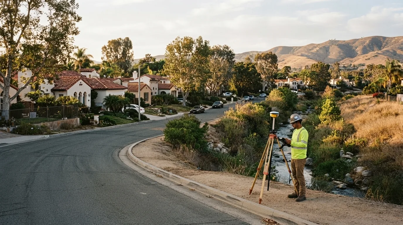
Our elevation certificate work concentrates on the creek corridors and low ground around Santa Barbara, Goleta, and Carpinteria, where FEMA's mapped flood zones reach real neighborhoods and not just open floodplain. If your parcel sits near a mapped zone boundary anywhere else in the county, ask and we will confirm the zone before scheduling.
Why Choose Us for an Elevation Certificate
- Completed and certified by a licensed California Professional Land Surveyor
- Flood zone and Base Flood Elevation confirmed from the effective FIRM before the visit
- One short site visit, certified form back in one to two weeks
- A read on whether your elevations support a LOMA, given at the same time
- More than 30 years on flood-zone parcels along Santa Barbara and Carpinteria creeks
Elevation Certificate FAQs
How much does an elevation certificate cost?
Typically $450 to $900 for a standard residential structure. Difficult access, a large or complex building, or a parcel that needs extra map research can raise it. We quote a fixed fee up front.
How do I get an elevation certificate in Santa Barbara?
A licensed land surveyor completes it. We confirm your flood zone and Base Flood Elevation from the effective FIRM, measure the structure's elevations in one site visit, and certify FEMA Form 086-0-33. You get the signed PDF with photos and the location sketch.
What is the purpose of an elevation certificate?
It documents how your building sits relative to the Base Flood Elevation so a lender or insurer can rate flood insurance and the county can process a floodplain development permit.
How long does it take to get the certificate?
Usually one to two weeks from scheduling. The field visit is short and the completed form follows within a few business days.
Can an elevation certificate lower my flood insurance?
If it shows your lowest floor sits above the Base Flood Elevation, it can reduce your rate. The same data can support a Letter of Map Amendment to take the structure out of the mapped flood zone, which can remove the insurance requirement altogether.
What is the difference between an elevation certificate and a LOMA?
The elevation certificate is the measured record of your building's elevation. A LOMA is FEMA's official determination, based on that data, that the structure sits outside the Special Flood Hazard Area.