
Lot Line Adjustment Surveys in Santa Barbara, CA | Lot Line Adjustment Specialists
Santa Barbara Land Surveyor has handled lot line adjustments end to end for South Coast property owners for more than 30 years, and the part of that experience clients notice most is that we treat the permitting half of the job with the same care as the survey half. A lot line adjustment lives or dies on the legal descriptions and the agency application, not just the field work, and we carry both.
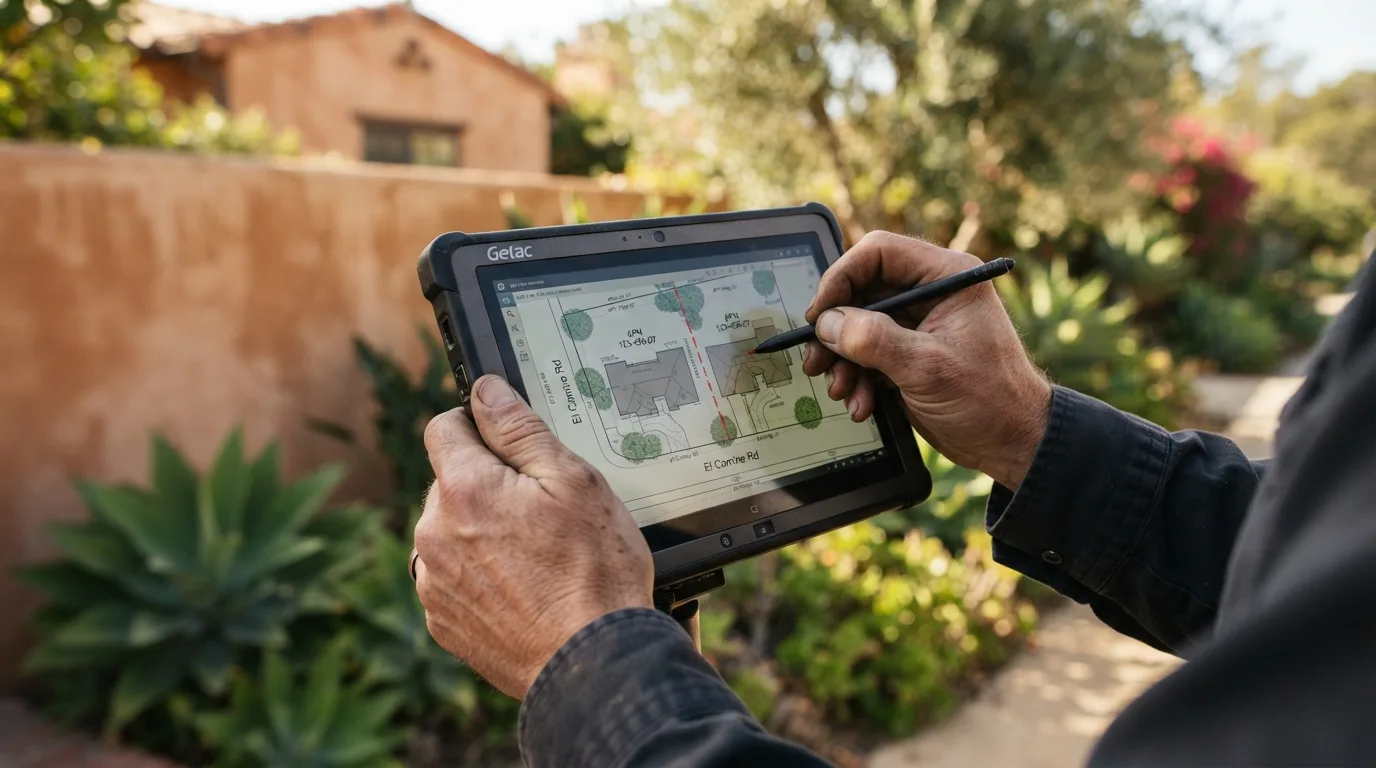
A lot line adjustment shifts the boundary between two or more parcels you already own or control, without creating any new parcels, and it runs under the Subdivision Map Act's own provision for adjustments between existing lots rather than through a full subdivision. We retrace both parcels, write the new legal descriptions, draw the plat and exhibit, prepare the application for the City of Santa Barbara or Santa Barbara County, carry it through plan check, and see it to recording, and owners in Santa Barbara, Montecito, and Carpinteria use exactly this process to square up an irregular parcel or fix a house built across a line decades ago.
Get a Free Estimate
How a Lot Line Adjustment Works
What It Is, and What It Is Not
The Survey Half and the Permitting Half
New Legal Descriptions and the Exhibit
City of Santa Barbara Versus County Process
Why Owners Do It
Our Lot Line Adjustment Process
- 1
Initial boundary retracement.
Both parcels retraced from the record and the monuments.
- 2
New legal description drafting.
Written to match the survey and record cleanly.
- 3
Plat and exhibit preparation.
Showing old and new lines and areas.
- 4
Application submittal to the City or County.
- 5
Plan-check corrections.
- 6
Recording and delivery.
Lot Line Adjustment Service Area
We handle lot line adjustments most often in Santa Barbara, Montecito, and Carpinteria, where older parcel configurations and decades of incremental building make this a recurring, real need. A California Professional Land Surveyor license covers this work anywhere in the state, so a parcel outside this immediate area is still worth a conversation.
Why Choose Us for a Lot Line Adjustment
- The survey, the legal descriptions, the exhibit, and the agency processing handled together
- Package prepared to City of Santa Barbara or County requirements from the first submittal
- Plan check corrections handled through to approval and recording
- A written fixed fee for the survey and mapping, with agency fees called out separately
- More than 30 years adjusting boundaries on South Coast parcels
Lot Line Adjustment FAQs
How much does a lot line adjustment cost?
Commonly $3,500 to $9,000 and up for the survey, the legal descriptions, the exhibit, and agency processing. City or County filing fees are separate and we call them out in the proposal.
What is a lot line adjustment?
It moves the boundary between existing legal parcels without creating a new one. It is processed under the Subdivision Map Act's lot line adjustment provision rather than as a subdivision.
How long does a lot line adjustment take in Santa Barbara?
Usually several weeks to a few months. The survey is quick. The application has to clear the reviewing agency's plan check and then get recorded, and that is where the time goes.
Is a lot line adjustment the same as a subdivision?
No. A subdivision creates new parcels and needs a parcel or tract map. A lot line adjustment only reshapes the line between parcels that already exist.
Do both property owners have to agree?
Yes. Both owners sign the application and the new deeds, and any lender on either parcel usually has to consent as well.
Do you write the new legal descriptions and record the documents?
Yes. We prepare the descriptions and the plat, carry the application through plan check, and see it through to recording, so both owners end with a corrected, recorded boundary.