
Easement Surveys & Legal Exhibits in Santa Barbara, CA | Easement Survey Specialists
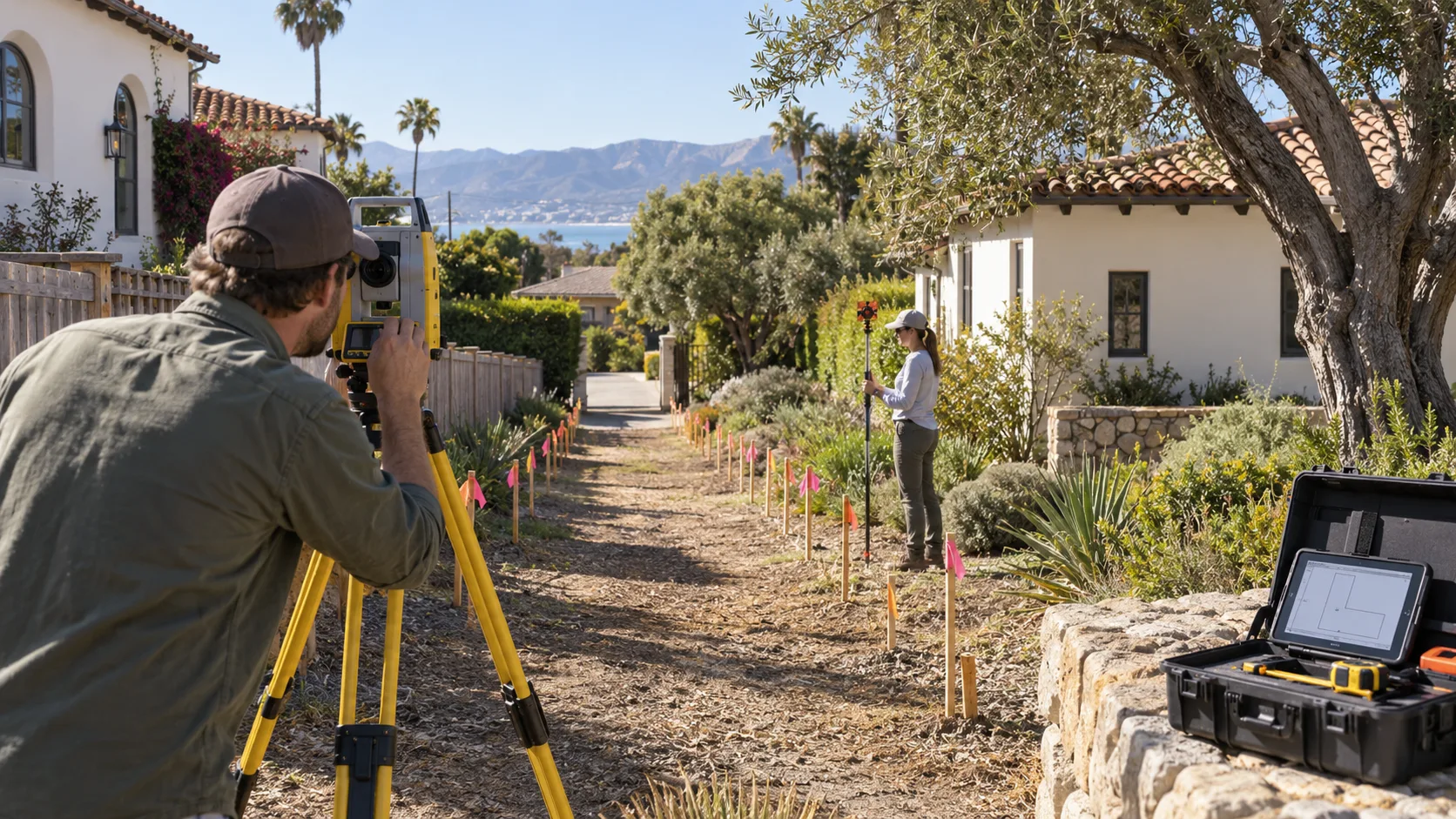
Santa Barbara Land Surveyor has run easement surveys across South Coast properties for more than 30 years, locating, mapping, and describing easements whether they already exist or are being created for the first time. Most of the easements we research trace back to a specific recorded grant, but some are prescriptive, established through decades of open and continuous use rather than a recorded document, and those take real title and historical research to pin down correctly. That research discipline is what keeps an exhibit from getting kicked back by the County Recorder or challenged later.
We work from the title report and every prior recorded map to plot access, utility, drainage, and shared-driveway easements, then prepare the plat exhibit and legal description a title company or an attorney actually needs to record. Flag lots and hillside parcels around Santa Barbara depend on shared easements more than most, and a precise exhibit is what removes the ambiguity for good. What follows covers the types of easements we survey, how we tell an existing easement from one being newly created, the exhibit itself, and what happens when an easement and a structure conflict.
Get a Free Estimate
What an Easement Survey Covers
Types of Easements
Locating an Existing Easement Versus Laying Out a New One
The Plat Exhibit and Legal Description
Easement-Versus-Structure Conflicts
Our Easement Survey Process
Title report and prior-map review.
We start with the title report and every prior recorded map affecting the easement.
Field location of the easement.
We locate the easement on the ground, whether it already exists or is being newly laid out.
Conflict check against structures.
We check the easement against existing structures for any overlap.
Plat and exhibit drafting.
We draft the plat exhibit that shows the easement's exact position.
Legal description preparation.
We write the legal description that matches the plat exhibit call for call.
Delivery to the title company or attorney.
You receive both documents ready to record.
Easement Survey Service Area
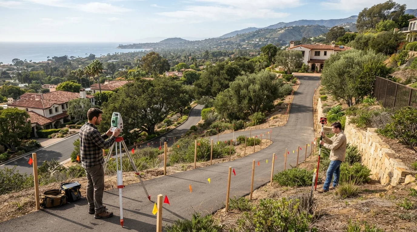
Most of our easement survey work covers Santa Barbara, Montecito, and Summerland, where flag lots and shared-access hillside parcels are common. A California Professional Land Surveyor license covers this work statewide, so if your parcel sits outside this immediate area, ask and we will scope it.
Why Choose Us for an Easement Survey
- Easements located and described straight from the title report and prior maps
- Recordable plat exhibit and legal description prepared together, not separately
- Real experience resolving conflicts where a structure overlaps an easement
- South Coast flag-lot and shared-access easement experience
- More than 30 years of easement research across Santa Barbara County