
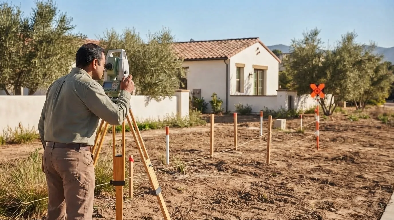
Boundary & Property Line Surveys in Santa Barbara, CA | Licensed Boundary Survey Specialists
Santa Barbara Land Surveyor has located and marked property lines for South Coast owners, builders, and attorneys for more than 30 years, and the precision that experience buys shows up most on the parcels other firms find frustrating: older lots with rancho-derived descriptions, conflicting deed calls, and monuments that have been buried or knocked out of position for decades. We reconcile that record against the physical evidence instead of guessing at it.
When you order a boundary survey, you get the corners of your parcel found or reset in the ground, marked with visible monuments, and shown on a signed drawing, and the same job answers a property line survey or a lot survey request, since all three describe determining where your land legally stops. Owners in Santa Barbara, Montecito, and Hope Ranch order one before building a fence or wall, closing on a parcel, resolving a disagreement with a neighbor, or simply wanting certainty about the lines, and the research, monument, and filing work behind that certainty is covered section by section below.
Get a Free Estimate
What a Boundary Survey Delivers
Which Survey You Actually Need
Research: Deed, Prior Maps, and Monuments
Setting and Preserving Corners
Record of Survey and County Filing
Encroachments and Conflicting Descriptions
Our Boundary Survey Process
- 1
Records and deed research.
Every prior map and Record of Survey pulled before the crew is scheduled.
- 2
Monument search in the field.
Recovering what the record says should be there.
- 3
Boundary resolution and computation.
Reconciling the record against the physical evidence.
- 4
Corner setting and preservation.
Per Business and Professions Code section 8771.
- 5
Record of Survey filing where required.
- 6
Delivery of the signed drawing.
Boundary Survey Service Area
Most of our boundary work runs through hillside and estate parcels in Santa Barbara, Montecito, and Hope Ranch, where older, rancho-derived descriptions and disturbed monuments make the record research the real work of the job. If your parcel sits elsewhere in the county, the same research discipline applies; ask and we will scope it.
Why Choose Us for a Boundary Survey
- Corners set with visible, stamped monuments you can find later
- Record research and field evidence reconciled and shown on the drawing
- Record of Survey prepared and filed with the County when the law requires it, fee included
- A written fixed fee before any field work, built from the record research
- More than 30 years on hillside, estate, and rancho-derived parcels on the South Coast
Boundary Survey FAQs
How much does a boundary survey cost in Santa Barbara?
Roughly $1,000 to $3,500 for a straightforward parcel. Large, hillside, brush-covered, or estate lots run higher because monument recovery and access take more field time. You get a written fixed fee first.
Is a property line survey the same as a boundary survey?
Yes. A property line survey, a boundary survey, and a lot survey all describe determining and marking the legal limits of your parcel.
Do you set markers I can actually see?
Yes. Rebar with a surveyor's cap at each corner, or a witness monument where the true corner is inaccessible. We preserve and reset existing monuments under Business and Professions Code section 8771.
Do I need a survey to buy a house in California?
Usually not. California residential closings rely on title insurance rather than a survey. You would order one for a fence, an addition, a dispute, or certainty about the lines.
Will a boundary survey settle a disagreement with my neighbor?
It establishes where the line runs from the record and the physical evidence. If the neighbor still disputes it, the same surveyor can prepare exhibits and testify.
How long does a boundary survey take?
Typically one to two weeks. Records research comes first, field work is often a day, and the corners get set and the drawing delivered shortly after.