
Topographic Surveys in Santa Barbara, CA | Precision Site Mapping Specialists
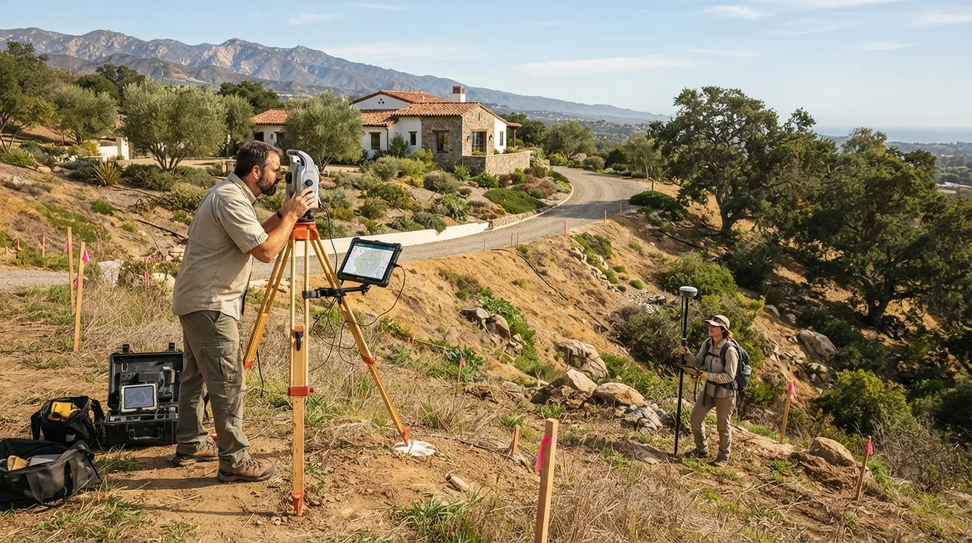
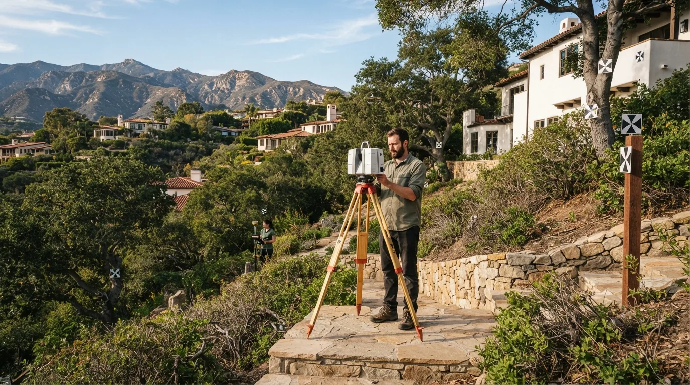
Santa Barbara Land Surveyor has spent more than 30 years mapping hillside, canyon, and valley terrain across the South Coast, and that experience shows up in how we handle the hard sites, not just the easy ones. Steep slopes, heavy brush, and disturbed monuments do not slow the survey down here, because we back the ground crew with drone photogrammetry or laser scanning whenever the terrain calls for it, and every point still ties back to the same disciplined control network. That precision is what a topographic survey is actually for.
A topographic survey is the measured picture of the existing ground that your architect or civil engineer designs from, capturing grade and contours, spot elevations, structures, hardscape, trees, and visible utilities, all tied to the California Coordinate System and a fixed benchmark. Projects in Montecito, Mission Canyon, and across Santa Barbara depend on this level of detail to get grading, drainage, and retaining walls through plan check on the first try, and the sections below walk through exactly what that control, that hillside method, and that rural feature-locating work actually involve.
Get a Free Estimate
What a Topographic Survey Captures
Ground Surface, Contours, and Spot Elevations
Vertical Control and the Benchmark
Steep, Wooded, and Bluff-Top Lots
Rural Parcels, Wells, and Septic
The CAD Deliverable
Our Topographic Survey Process
- 1
Site walk and scope confirmation.
We walk the parcel and confirm what the project actually needs before scheduling field work.
- 2
Control and benchmark setup.
We set or recover the vertical control the whole survey ties to.
- 3
Field data collection.
Ground crew, drone, or laser scan, depending on the terrain.
- 4
Office processing and contour generation.
Raw field data becomes a finished contour surface.
- 5
CAD drafting to your design team's standard.
The file matches the layers and format your architect or engineer expects.
- 6
Delivery and design coordination.
We stay available while your team designs from the file.
Topographic Survey Service Area
Most of our topographic work maps hillside and estate parcels above the South Coast, particularly around Montecito and Mission Canyon, where slope and access make a careful field plan matter. Drone and laser-scan backup extends our real reach into remote Santa Ynez Valley parcels that a ground crew alone would take far longer to cover. If your site sits outside this immediate area, ask and we will scope the terrain.
Why Choose Us for a Topographic Survey
- Survey tied to the California Coordinate System and a documented benchmark
- Drone and laser-scanning backup for steep or heavily planted lots, at no change to the deliverable
- CAD files built to the layer and standard your engineer or architect works in
- More than 30 years mapping South Coast hillside, canyon, and valley terrain
- Boundary and topographic work combined on one visit when the project needs both
Topographic Survey FAQs
How much does a topographic survey cost in Santa Barbara?
Roughly $1,000 to $5,000 and up. Site size, terrain, vegetation, and the contour interval and level of detail your design team needs all move the number. We quote a written fixed fee after we see the parcel and the scope.
What is included in a topographic survey?
Existing ground elevations and contours, spot elevations across the site, buildings and hardscape, visible utilities, drainage patterns, and significant trees, all tied to a fixed benchmark and the state coordinate system. Where a current boundary exists, it goes on the drawing too.
How long does a topographic survey take?
Field work is often a single day on a typical residential lot, with the CAD file delivered within one to two weeks. Steep, wooded, or large parcels take longer in the field and in the office.
What is the difference between a topographic survey and a boundary survey?
A boundary survey establishes where your property lines are. A topographic survey maps the shape and features of the ground. Many projects need both, and we can complete them on one visit.
Do I need a topographic survey for my project?
If an architect or engineer is designing grading, drainage, a retaining wall, a driveway, or an addition on sloping ground, they will design from a topo. A straightforward interior remodel usually does not need one.
Can the topographic survey be done by drone?
On steep or heavily vegetated sites we use drone photogrammetry or LiDAR to capture terrain that is slow or unsafe to walk, checked against ground control points for accuracy. Most sites still get a ground crew for the hard features and utilities.