Drone & Aerial Mapping Surveys in Santa Barbara, CA | Drone & Aerial Mapping Specialists
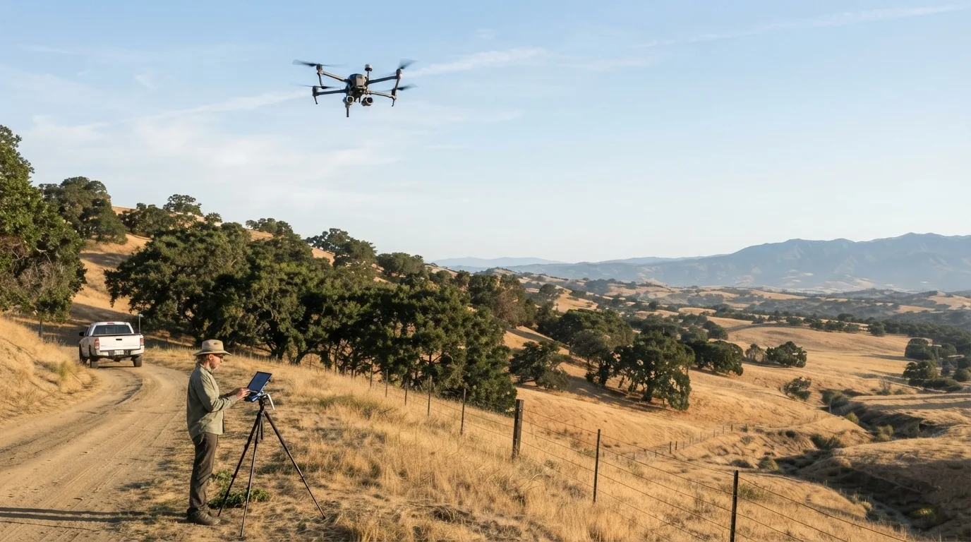
Santa Barbara Land Surveyor flies FAA Part 107-licensed drone and aerial mapping across Santa Barbara County, covering the backcountry ranch land around Santa Ynez and Los Olivos and the foothill parcels above the South Coast that a ground crew struggles to cover quickly. More than 30 years of surveying this terrain sit behind every flight plan we fly, so we already know which slopes hide a washed-out access road and which oak canopy calls for LiDAR instead of photos. That terrain knowledge is what turns a drone flight into usable survey data instead of a set of pretty aerial photos. You deal directly with the same licensed surveyor who plans the flight, not a subcontracted drone operator brought in for the day.
A drone and aerial mapping survey uses a Part 107-licensed flight to build an orthomosaic, a dense point cloud, contours, and a 3D surface model of a site that would take a ground crew days to cover on foot. We fly optical photogrammetry on open terrain and switch to drone LiDAR when vegetation is thick enough to block a camera from reaching bare ground, then tie every dataset back to ground control points and check it against real survey measurements before it goes into a design file. What follows covers what the flight actually produces, how LiDAR and photogrammetry differ, how we check the data for accuracy, and which Santa Barbara County sites benefit most from flying instead of walking.
Get a Free Estimate
What Drone & Aerial Mapping Covers
What Drone Mapping Produces
Drone LiDAR Versus Photogrammetry
Ground Control and Accuracy Checking
Where It Pays Off
Our Drone & Aerial Mapping Process
Site assessment and flight planning.
We look at the parcel's terrain and what the finished data needs to support, then plan the flight path and either the image overlap or the LiDAR settings the site calls for.
Ground control setup.
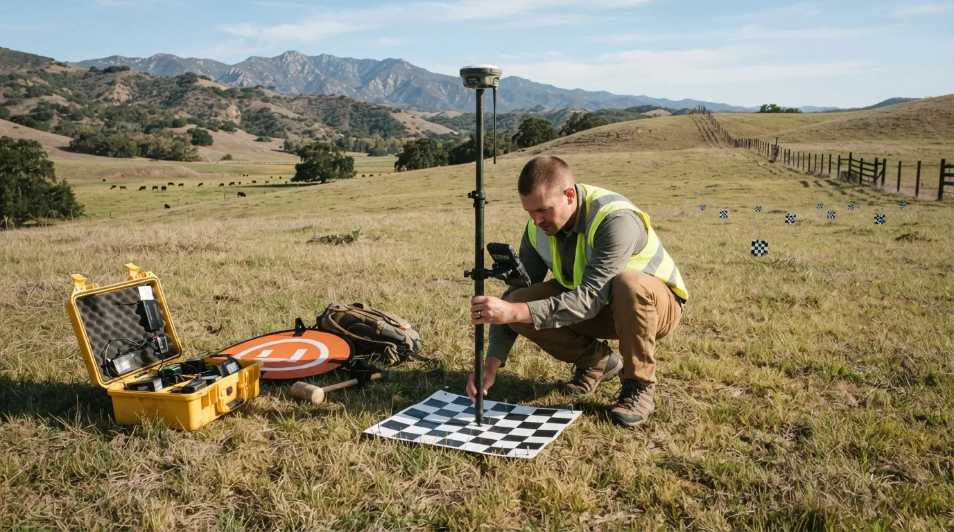
Before the drone takes off, we set and measure ground control points with GNSS equipment so the finished data ties into real, checkable coordinates from the start.
Flight and data capture.
We fly the mission under our Part 107 certificate, capturing overlapping photos, LiDAR returns, or both depending on the terrain and vegetation.
Point cloud and orthomosaic processing.
Back in the office, the raw photos or LiDAR returns get processed into the point cloud, orthomosaic, contours, and 3D model the project calls for.
Accuracy check against ground survey points.
We compare the processed data against the ground control coordinates and flag anything outside tolerance before it goes any further.
Delivery.
You receive the finished orthomosaic, point cloud, contours, and 3D model in the file formats your design team already works in.
Drone & Aerial Mapping Service Area
Most of our drone and aerial mapping work covers ranch and estate parcels in the Santa Ynez Valley, around Santa Ynez, Los Olivos, and Solvang, where acreage and rough terrain make a walking survey slow and expensive. We also fly the steep foothill parcels above Montecito and Hope Ranch, and long corridors anywhere in Santa Barbara County that a ground crew would otherwise have to cover on foot. A California Professional Land Surveyor license and an FAA Part 107 certificate both cover work statewide, so if your site sits outside this immediate area, ask and we will scope the flight.
Why Choose Us for Drone & Aerial Mapping
- FAA Part 107-licensed drone pilot on every flight
- Aerial data checked against ground control points, not delivered as-is
- Drone LiDAR available for brush and tree-covered terrain photogrammetry cannot read
- Dense point clouds and orthomosaics delivered faster than a ground crew could cover the same acreage
- More than 30 years of South Coast and Santa Ynez Valley terrain knowledge behind every flight plan