
Flood Zone Determination & LOMA in Santa Barbara, CA | LOMA Processing Specialists
Santa Barbara Land Surveyor has spent more than 30 years reading Flood Insurance Rate Maps and preparing Letter of Map Amendment submittals for property owners along Santa Barbara, Goleta, and Carpinteria's creek corridors and low-lying parcels. Getting a flood zone determination wrong, or missing a real case for a map amendment, costs an owner years of flood insurance premiums they never needed to pay. That precision is what separates a LOMA that FEMA approves on the first submittal from one that comes back asking for more information.
A Letter of Map Amendment is FEMA's official determination that a structure sits outside the Special Flood Hazard Area despite what the current Flood Insurance Rate Map shows, built from surveyed elevation data rather than a new flood study. What follows covers how we read the effective FIRM, what it looks like when a property is genuinely mis-mapped, the real difference between a LOMA and a LOMR-F, and what FEMA actually needs to approve the application.
Get a Free Estimate
What Flood Zone Determination & LOMA Covers
Reading the Effective FIRM
When a Property Is Mis-Mapped
LOMA Versus LOMR-F
What FEMA Needs for the Application
Our LOMA Process
FIRM zone review.
We confirm your mapped flood zone and Base Flood Elevation from the effective map before quoting the job.
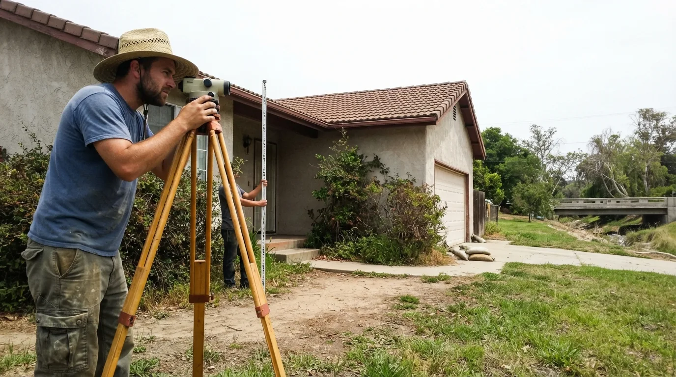
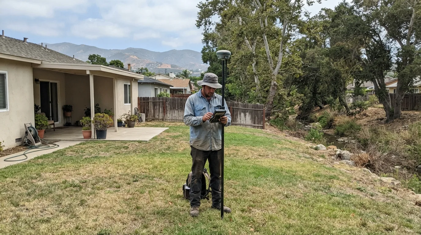
Elevation data collection, or use of an existing certificate.
We measure the elevations FEMA requires, or work from a current elevation certificate if you already have one.
LOMA application preparation.
We assemble the MT-1 package: elevation data, deed, property description, and supporting documents.
Submittal to FEMA.
We submit the completed application for review.
Follow-up through determination.
We track the submittal and respond to any FEMA request for additional information.
Delivery of the determination letter.
You receive FEMA's official determination once it is issued.
Flood Zone / LOMA Service Area
Most of our flood zone determination and LOMA work covers the creek corridors and low ground around Santa Barbara, Goleta, and Carpinteria, where FEMA's mapped flood zones reach real neighborhoods. A California Professional Land Surveyor license covers this work statewide, so if your parcel sits outside this immediate area, ask and we will scope it.
Why Choose Us for Flood Zone Determination and LOMA
- Reads the effective FIRM correctly before quoting, not after
- Prepares the elevation data and MT-1 package FEMA's application actually needs
- Tracks the submittal through FEMA's determination and responds to follow-up requests
- Can remove a lender's flood-insurance requirement entirely when the numbers support it
- More than 30 years on Santa Barbara, Goleta, and Carpinteria creek-corridor parcels