
Route, Corridor & Right-of-Way Surveys in Santa Barbara, CA | Route & Corridor Survey Specialists
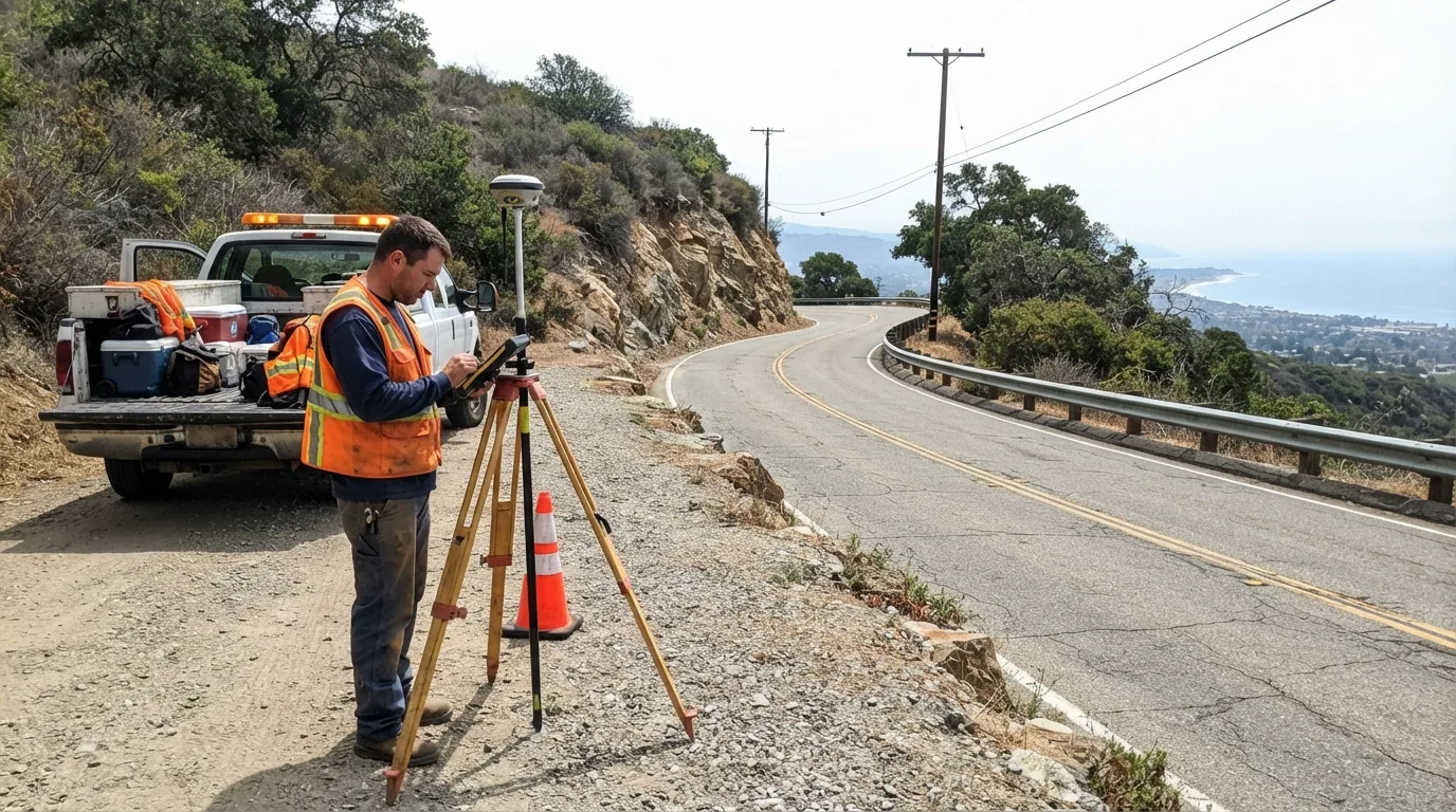
Santa Barbara Land Surveyor has controlled centerline and stationing on linear infrastructure projects across Santa Barbara County for more than 30 years, work that rewards precision most on the corridors with the least room to move: the narrow coastal shelf along the Highway 101 corridor and the canyon terrain where roads and utility lines climb out of the South Coast toward the interior. A survey that drifts even a few inches off centerline on a tight alignment forces a redesign later, so the control gets set right the first time.
A route, corridor, or right-of-way survey establishes the centerline and stationing a design team builds from, maps the existing ground and features along the alignment, and defines the legal right-of-way the project has to work inside. What follows covers how we set centerline and stationing, map a corridor efficiently with drone and mobile methods, stake a finished design for construction, and define the right-of-way itself.
Get a Free Estimate
What Route and Corridor Surveys Cover
Centerline and Stationing
Existing-Features and Topographic Mapping Along a Corridor
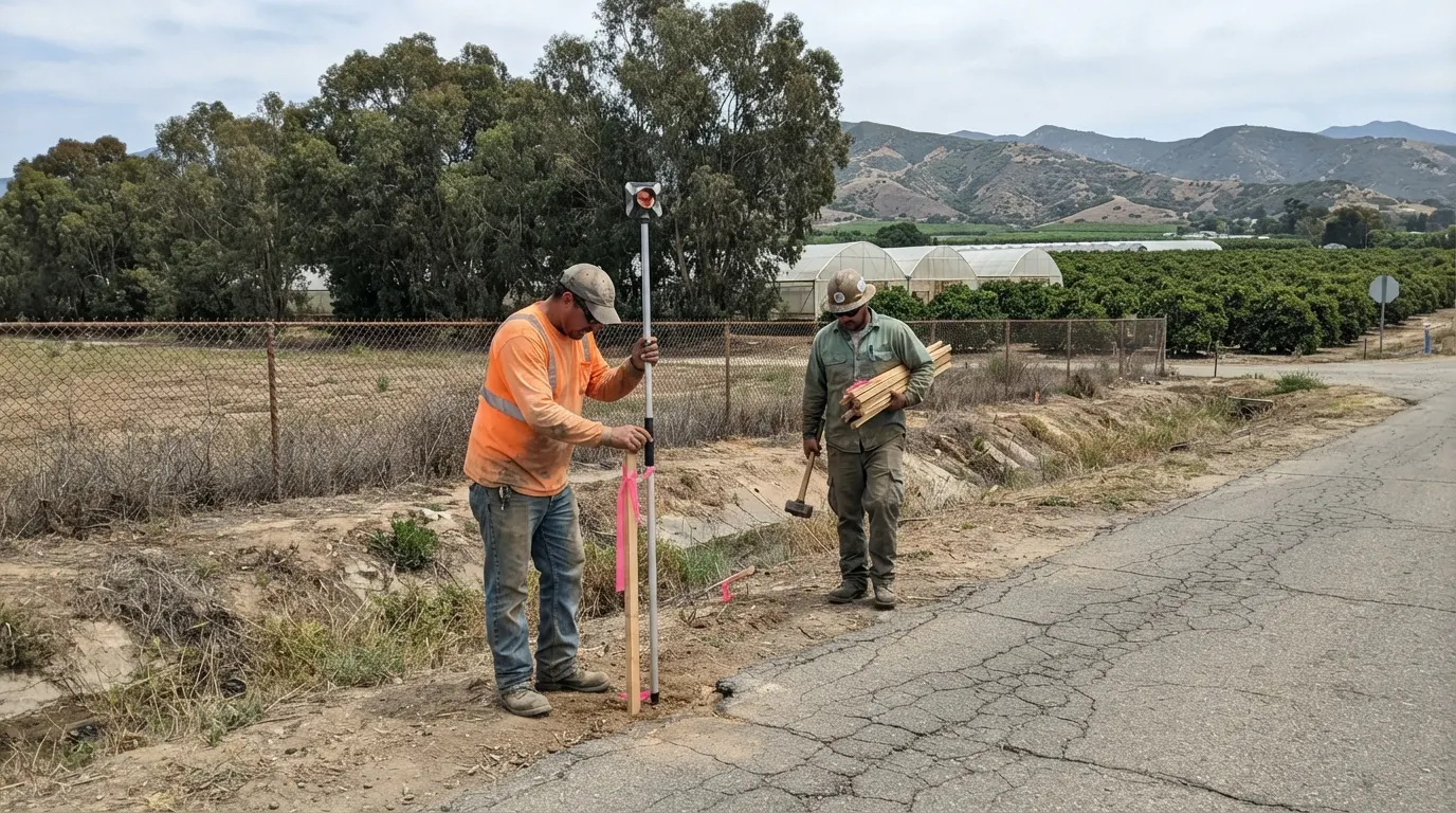
Design-Alignment Staking
Right-of-Way and Access-Strip Definition
Our Route Survey Process
Corridor reconnaissance.
We walk or drive the alignment and review the available record before scoping the field work.
Control network establishment.
We set the survey control the rest of the project ties to.
Topographic and feature mapping.
We map the existing ground and features along the full length of the corridor.
Alignment staking.
We stake the finished design for construction.
Right-of-way research and description.
We research and describe the legal right-of-way affecting the corridor.
Delivery to the agency or design team.
You receive the finished survey data and drawings.
Route Survey Service Area
Most of our route and corridor survey work covers Santa Barbara, Goleta, and Carpinteria, where coastal-shelf and canyon alignments leave a project little room to adjust. Our California Professional Land Surveyor license covers this work statewide, so if your corridor runs outside this immediate area, ask and we will scope it.
Why Choose Us for Route and Corridor Surveys
- Centerline and stationing control set to agency standard
- Drone and mobile mapping methods for long corridors
- Right-of-way research and description handled in-house
- Real coastal-shelf and canyon-terrain survey experience
- More than 30 years of South Coast infrastructure survey work