
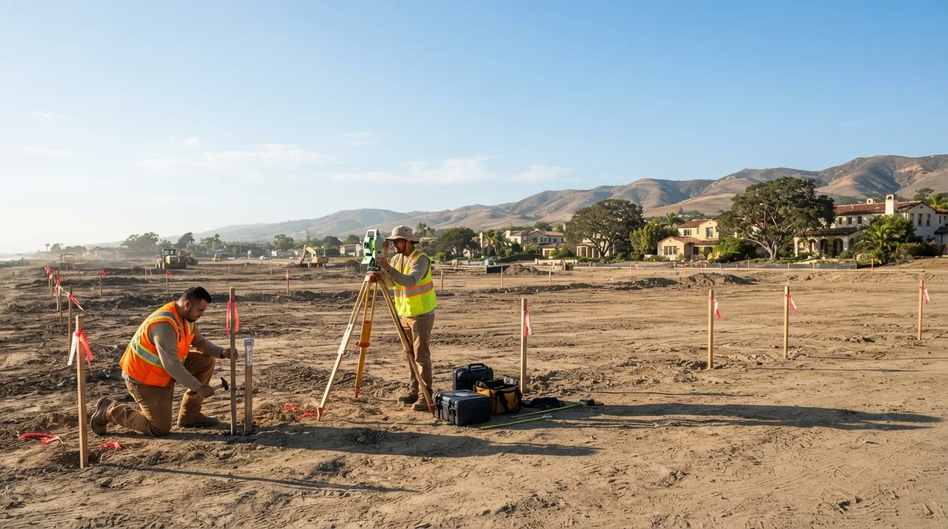
Subdivision, Tract & Parcel Maps in Santa Barbara, CA | Subdivision & Parcel Map Specialists
Santa Barbara Land Surveyor has carried subdivision and parcel maps through City and County review across the South Coast and the Santa Ynez Valley for more than 30 years, and that track record matters most in the parts of the process a first-time applicant never sees: how the County Surveyor actually checks a map, what triggers a plan-check correction, and how to set monuments that clear review the first time.
Subdivision mapping is the process that turns one legal parcel into several that can be sold or built on, and it runs start to finish under the California Subdivision Map Act. We prepare parcel maps for divisions of four or fewer lots, tract maps for five or more, and condominium and air-space maps for vertical projects, carrying the work from the boundary survey through recording, and infill projects in Santa Barbara and Goleta move through that exact path, covered section by section below.
Get a Free Estimate
Types of Subdivision Maps
Parcel Maps
Tract Maps
Condominium and Air-Space Maps
The Path From Tentative Map to Recording
City of Santa Barbara Versus County Review
Our Subdivision Mapping Process
- 1
Feasibility and boundary/topo survey.
The foundation every map is built from.
- 2
Tentative map preparation and submittal.
The proposal the agency reviews and conditions.
- 3
Conditions of approval and improvement-plan coordination.
Working with the civil engineer through each cycle.
- 4
Final or parcel map drafting.
Reflecting every condition the agency attached.
- 5
Monumentation and agency signatures.
The map is signed by the surveyor and the agency.
- 6
Recording.
The moment the new parcels legally exist.
Subdivision Mapping Service Area
Most of our subdivision and parcel map work runs through infill divisions in Santa Barbara and Goleta, where developable land is scarce enough that the map has to clear review on the first pass. We also carry larger divisions in the Santa Ynez Valley near Buellton, where growth is bringing more of this work to the County side of review.
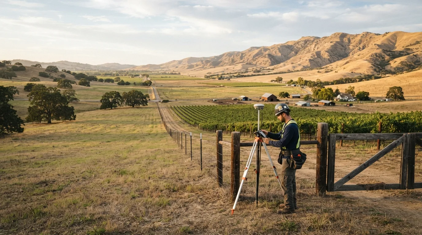
Why Choose Us for Subdivision Mapping
- The full path handled in one office, from boundary survey through County recording
- Maps prepared to City of Santa Barbara or County standards from the first submittal
- Coordination with the project civil engineer through every condition and review cycle
- Monuments set to record positions, with any required correction handled at no extra cost
- More than 30 years moving South Coast and valley divisions through review
Subdivision Mapping FAQs
How much does a subdivision map cost?
For the survey and map work, commonly $6,000 to $25,000 and up for a small parcel map, and substantially more for a tract with improvements, bonds, and multiple review cycles. We scope and quote each project individually.
What is the difference between a parcel map and a tract map?
A parcel map divides land into four or fewer lots. A tract map is for five or more. Both are recorded maps under the Subdivision Map Act, but the tract map process carries more conditions, improvement plans, and review.
How long does a parcel map take to record in Santa Barbara County?
Typically several months to more than a year. The tentative map, the conditions of approval, improvement plans, the final map check, and recording each move through their own agency queue.
What is the Subdivision Map Act?
It is the California law, Government Code section 66410 and following, that governs how land is divided. It sets when a parcel map or a tract map is required and what has to be shown, surveyed, and recorded.
What is the difference between a tentative map and a final map?
The tentative map is the proposal the agency reviews and attaches conditions to. The final map reflects those conditions, is signed by the surveyor and the agency, and is the document that records and creates the parcels.
Can you do a condominium or air-space map?
Yes. Vertical and mixed-use projects are mapped as condominium or air-space subdivisions under the same Act, and we handle that as part of the subdivision practice.