3D Laser Scanning & Scan-to-BIM in Santa Barbara, CA | 3D Laser Scanning Specialists
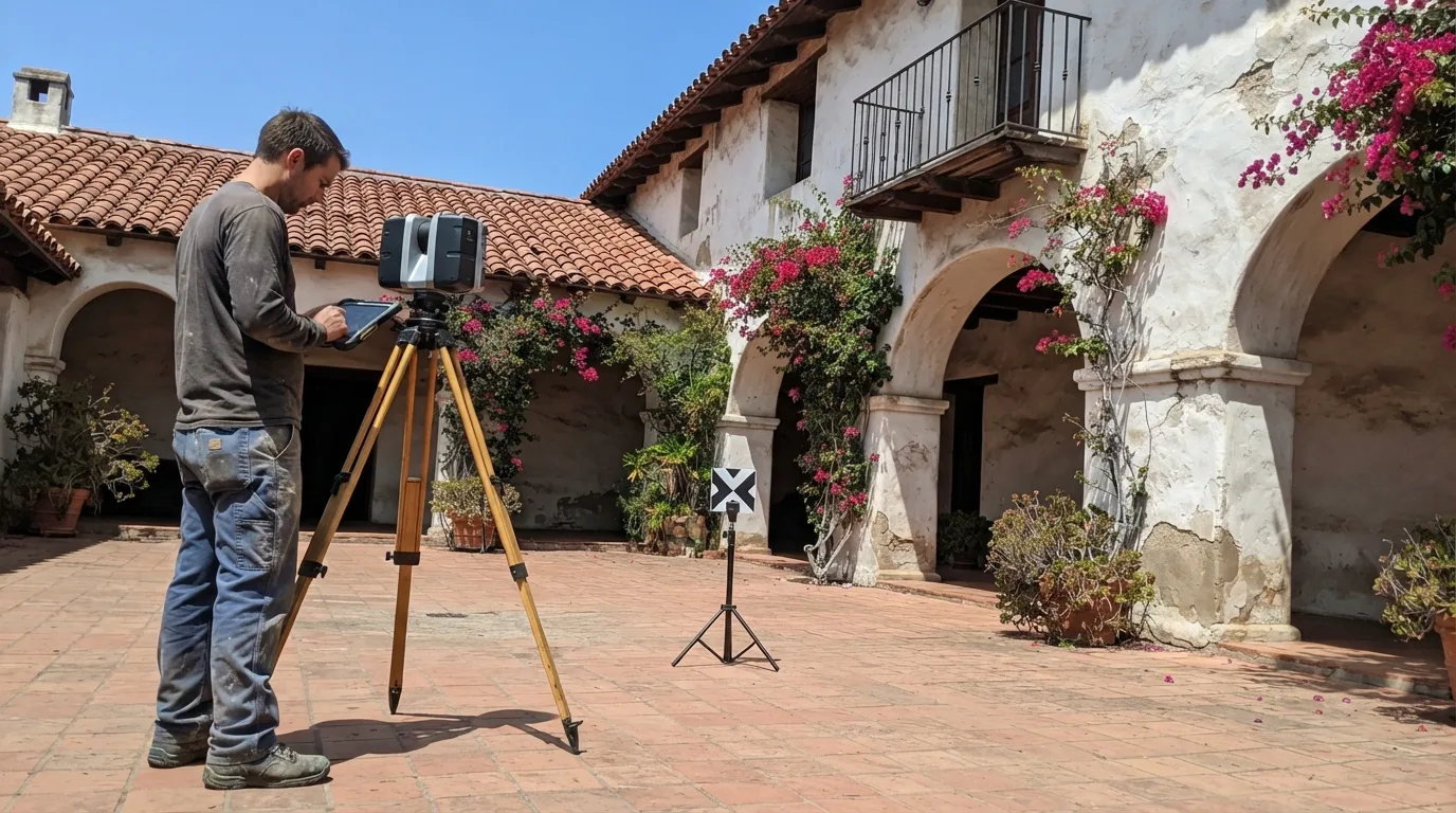
Santa Barbara Land Surveyor has spent more than 30 years building the survey-control discipline that makes a 3D laser scan actually usable, not just a detailed point cloud. Every scan we run gets registered to the same California Coordinate System control the rest of a project's survey work uses, with point-to-point accuracy in the millimeter range at close range. That control discipline is what turns a scan into a deliverable an architect or structural engineer can actually design from, not just a striking visual.
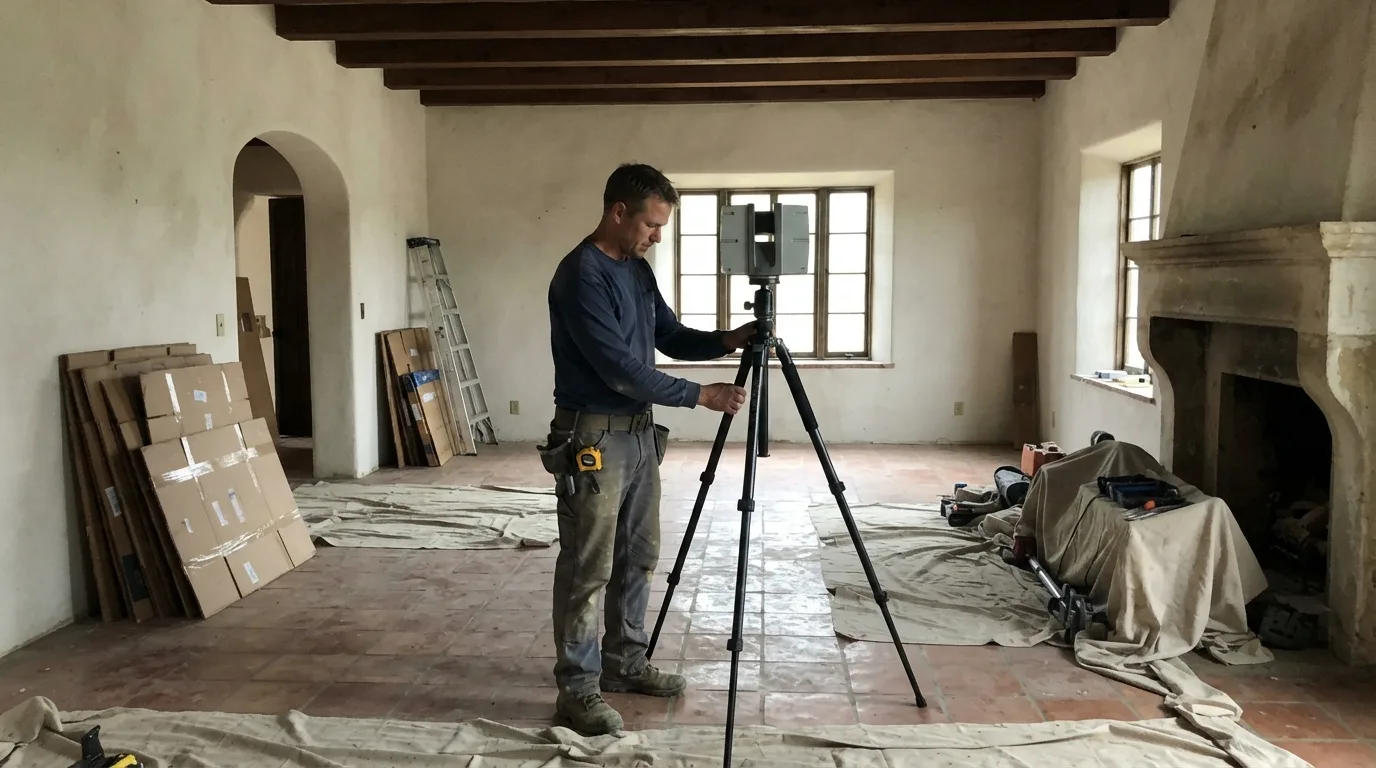
We capture buildings and sites as survey-grade point clouds registered to real control, then turn that data into as-built CAD, 3D models, and scan-to-BIM deliverables in Revit, built to whatever Level of Development your project calls for, from a basic massing model up to full detail for clash detection and trade coordination. Renovations, historic structures, tenant improvements, and clash-detection projects on the South Coast depend on knowing the existing conditions precisely, and a scan gets there faster than measuring a building by hand. What follows covers how the scan works and what we deliver, then covers where it matters most.
Get a Free Estimate
What 3D Laser Scanning Covers
How High-Definition Scanning Works
Deliverables: As-Built CAD, 3D Models, and Scan-to-BIM
Use Cases: Renovation, Historic, Tenant Improvement, and Clash Detection
Santa Barbara's Older and Architecturally Significant Buildings
Our 3D Laser Scanning Process
Site walk and scan planning.
We walk the site to plan scanner setups and confirm what the finished deliverable needs to cover.
Control network setup.
We establish the survey control the scan data will register to.
Scanning.
We capture the site as a dense, survey-grade point cloud from multiple overlapping setups.
Point-cloud registration and processing.
Every scan setup gets registered together and tied to control, then cleaned and processed into a single unified cloud.
CAD and BIM modeling.
We build the as-built CAD, 3D model, or scan-to-BIM deliverable your project needs, modeled to the Level of Development the project calls for.
Delivery.
You receive the finished files in the format your design team works in.
3D Laser Scanning Service Area
Most of our 3D laser scanning work covers Santa Barbara, Montecito, and Carpinteria, where a lot of the older and architecturally significant building stock lives. A California Professional Land Surveyor license covers this work statewide, so if your project sits outside this immediate area, ask and we will scope it.
Why Choose Us for 3D Laser Scanning
- Survey-grade scanner data registered to real control, not floating on its own
- Scan-to-BIM deliverables built directly in Revit, modeled to the Level of Development you need
- Real experience scanning historic South Coast structures
- Faster turnaround than measuring a building by hand
- More than 30 years of survey-control discipline behind every scan